The Land Gift Made Headlines. The Trails Plan Is What Actually Changes Honey Bee Canyon
September 24, 2026
September 24, 2026
In January, the Oro Valley Town Council accepted a gift: 33.3 acres of steep, rocky desert sitting immediately east of Honey Bee Canyon Park, donated by a real estate holding company called VP II Loan LLC. It made the local paper. It got a thank-you from Mayor Joe Winfield. If you hike the wash on weekends or ride the Big Wash trailhead into the Honeybee network, you probably heard about it secondhand, the way neighborhood news travels, and filed it under "something is finally happening to that park."
Something is happening. It just isn't the donation.
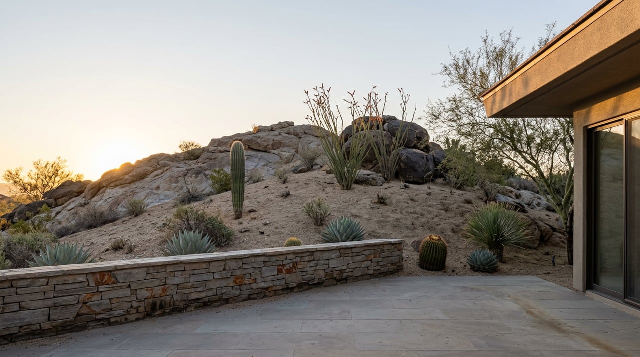
Read past the headline and the donation is almost aggressively noncommittal. The land is zoned for open space under the Rancho Vistoso planned area development, which means it can't become housing or retail, but beyond that, Assistant Town Manager Chris Cornelison told the council there were no proposed uses for the parcels. Any future decision would wait for what he called a future strategic planning effort.
"There are no proposed uses for the two parcels. Any future consideration of their use would be appropriately addressed through a future strategic planning effort."
That is not a commitment to trails. It's a placeholder. The donor's own COO, Mark Winkleman, was candid about it too, telling the council the gift gives the town "the opportunity to expand the park, build trails, anything," which is another way of saying nobody has decided anything yet.
So the acreage sat there through the spring: donated, zoned correctly, and undesigned.
Three months later, on April 22, the council adopted something that had been in the works far longer than the land gift and matters far more to anyone who already uses these trails: the OV Trails Connect Master Plan, the town's first full trails planning update since 2010.
Sixteen years is a long time for a plan to go unrevised, and it shows. The dirt routes locals have used for years through Big Wash, the Honey Bee Canyon network, and Panorama Trails were never formally recognized by the town. They exist because people wore them in, not because anyone platted them. The new plan changes that. It specifically names Big Wash, Honey Bee Canyon, and Panorama Trails as unpaved routes that will get formal recognition, improved access, and signage marking trailheads and connections, with coordination reaching out to State Trust land where the trails cross it.
Senior planner Kyle Packer, who led the update, said the goal was to build the plan around how people already use the trails rather than how the town assumed they should. His team pulled ride and hike data from apps like Strava to see which routes were actually getting traffic, not just which ones were on an old map. The stated aim, in his words, was to "meet the residents and users of all of our trails and paths where they are."
That is the mechanism that will eventually decide what happens to those 33 donated acres, not the donation itself. The land created the opportunity. The plan is the process that turns opportunity into an actual trail alignment, and it now exists in writing for the first time since 2010.
If you've hiked north from the Rancho Vistoso Boulevard bridge looking for the petroglyph boulder, you already know the trail junctions out there have never been well marked. Regulars figure it out by trial, error, and asking someone coming the other way which fork leads to the rock art and which one just dead-ends in sand. The plan's language about wayfinding signage and clearer trailhead marking is aimed directly at that kind of confusion, and it applies to the exact stretch of wash most Rancho Vistoso hikers already walk.
It also matters for the Vistoso Trails Nature Preserve, the paved 6.2-mile loop on the site of the old Vistoso golf course. The plan calls for improving that existing path system and adding clearer etiquette signage for the mix of walkers, cyclists, and strollers who already share it. That's a heavily used stretch of the community, and it's getting attention in the same document that addresses the dirt trails, not a separate afterthought.
None of this happens overnight. The trails plan is a ten-year framework, not a construction schedule, and Oro Valley officials have said the plan's real function going forward is to guide capital spending and make the town more competitive for outside grant funding. Signage, formal trail designation, and the kind of connectivity study that could eventually link Honey Bee Canyon Park to those donated 33 acres will roll out over the coming years, one funded phase at a time, not one budget cycle.
Here's the sequence worth keeping straight if you're the kind of resident who notices town council agendas:
| When | What happened | What it does |
|---|---|---|
| January 2026 | Town accepts 33.3-acre land donation from VP II Loan LLC | Creates future potential, no design attached |
| April 22, 2026 | Town Council adopts OV Trails Connect Master Plan | Formally recognizes Big Wash, Honey Bee Canyon, Panorama Trails and sets signage, access, and connectivity priorities |
| Ongoing | Implementation phases, grant applications, capital planning | Turns the framework into actual trail work, on a multi-year timeline |
If you're waiting for a bulldozer to show up next to the ramada at Honey Bee Canyon Park, you'll be waiting a while. But if you've wondered why there's suddenly town-level conversation about expanding the park's boundaries when nothing visible has changed on the ground, this is the answer. The plan adopted in April is the thing doing the actual work. The January donation is the raw material it now has to work with.
For a neighborhood where a meaningful share of the daily routine runs through that wash, that's not a small distinction. It's the difference between a headline and a process, and the process just started.
Town planning moves slower than a Saturday hike, but it does move. If Honey Bee Canyon's trails matter to your daily routine the way they do for a lot of Rancho Vistoso households, the plan adopted this April is worth checking back on when the town's capital improvement priorities come up for their next budget cycle. That's when framework turns into funded work.
Dan and Holly Leonard have spent years watching how these small civic decisions shape the way people actually live in their own neighborhoods, long before any of it shows up in a listing description. If you're curious how changes like this tend to play out over time in Rancho Vistoso, or you just want to talk through what's happening in the community with someone who's paying attention to it the same way you are, reach out to Net Properties and request a call back.
Stay up to date on the latest real estate trends.